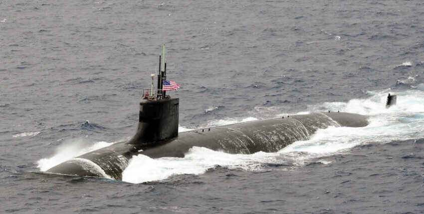
So there are still blank spots on the maps of the earth after all! At least on the charts of the Naval Oceanographic Office (NAVOCEANO) in the Pentagon, there must be previously unknown shallows. This is the conclusion one can come to when reading the results of the US Navy's accident investigation into the accident involving the USS Connecticut (Seawolf-class nuclear submarine) in the South-East Asian Pacific at the beginning of October. The submerged submarine is said to have run aground on a previously unmeasured shoal. The damage to the outer hull of the boat was described as minor. There were also only minor injuries to the crew. This is the official version.
It is a well-known fact that the Western Pacific is littered with shallow areas ranging from undersea volcanic cones to atolls and sandbanks of a natural or deliberately accumulated nature - in this case mostly with a Chinese flag on top. Even if, according to the latest information, only half of the South China Sea has been fully mapped, it is hard to imagine that a technologically highly equipped 3 billion dollar hunting submarine is rubbing its nose on an unknown rock. More questions remain unanswered than answers are given, especially as the outsider is also denied an approximate location - but it is supposed to have happened in the South China Sea.
At least the boat was able to cover the 3,000 miles to the dock on the island of Guam under its own power and on an even keel. In the search for those responsible for the accident, the commander of the 7th U.S. Fleet in Yokosuka, Japan, is quoted as saying: The underwater world forgives nothing - even small mistakes would have the greatest consequences. With this in mind, the commander, chief officer and the sonar sergeant have since had to resign.
However, this incident is not the only one of its kind, as one could almost have guessed: As recently as 2005, a similar boat, the USS San Francisco (Los Angeles class), rammed a rock about 300 miles south of Guam at maximum speed at a depth of 160 metres, causing much more damage and resulting in almost 100 injuries and one death among the crew.
A final note that does not make the view into the depths of the oceans any clearer: Globally, only 80% of the seabed is said to have been fully mapped!


